6. Recreation/Open space Inventory: Parks, Trails, Other Deficiencies, Needs, Opportunities Goals/Action Plan
Appendices Land development actions archive? Information from old web-site, 1987 plan? Inventory data
DRAFT FOR COMMITTEE REVIEW
Forward
The history of the Sullivan’s Gulch Neighborhood Action Plan (Plan) started with a Portland State University study in 1982 called Sullivan's Gulch – Problems, Issues, and Strategies. The study included a neighborhood perception survey, a land-use survey, and statistical analyses using Census and other data to formulate land use strategies.
In 1985 neighborhood residents, property owners, and businesses secured an Oregon Communities Foundation grant that produced the first Plan, which was adopted by the Sullivan’s Gulch Neighborhood Association (SGNA) on June 28, 1986.
A planning collaboration between the SGNA and the Bureau of Planning in the fall of 1986 led to a refinement of the to ensure it complied with the City’s Comprehensive Plan. On July 16,1987, after Planning Commission review, the City Commission adopted the goal, policies and objectives in the Plan as part of the City’s Comprehensive Land Use Plan.
In early 2000, the SGNA Land Use and Transportation Committee (LUTC) chaired by Lynn Coward reviewed the 1987 plan. They found emerging trends and issues that altered the focus of the Plan. These included the displacement of residents and businesses caused by rising land costs, an increase in homeless persons, and a 25% increase in traffic in the Broadway/Weidler corridor. The Plan was modified to include:
An urban design vision for the NE Weidler corridor from NE 16th Avenue to NE 24th Avenue predicated on decoupling Broadway and Weidler, along with proposed changes in zoning;
A call for strengthening NE Broadway as a “Main Street” business district, including steps to ensure that redevelopment of the Albina Fuel site did not undermine the Broadway business district;
A call to reclaim public rights of way as a means for ‘greening’ the neighborhood, and reducing transient parking use especially west of NE 21st Avenue;
A call to engage state, county, city, and non-profit organizations to address gentrification and displacement of the affordable housing, which makes SG a diverse community.
In 2016 SGNA initiated the current Plan update, which retains elements from previous plans while adding new initiatives that respond to emerging issues. An important addition is a plan framework focusing on social equity, climate action, and livability. This framework informs the other Plan chapters.
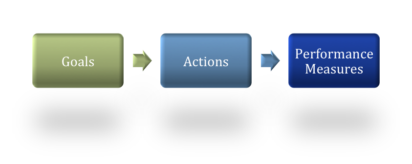
Each chapter includes a fact-based summary of current and forecast conditions followed by goals, actions, and performance measures. The planning horizon is 20 years, which matches the horizon in The Portland Plan.
The Sullivan’s Gulch Neighborhood Action Plan seeks to advance the Portland Plan’s vision for inner NE Portland. It is a plan for growth, but growth that is sensitive to our neighborhood’s roots. The goal, policies and actions are those that will enhance livability in our corner of the city and showcase how an inner-city neighborhood can embrace change and thrive.